Overview
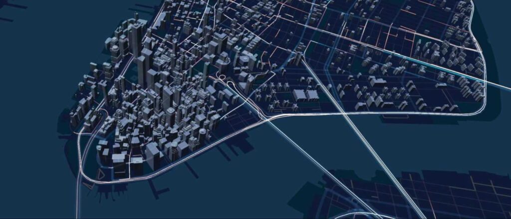
deck.gl is an open-source, WebGL-powered library for exploring and visualizing data assets at scale. Created by Uber, it is especially useful for gaining insights from geospatial data sources, such as data on maps.
This instructor-led, live training introduces the concepts and functionality behind deck.gl and walks participants through the set up of a demonstration project.
By the end of this training, participants will be able to:
- Take data from very large collections and turn it into compelling visual representations
- Visualize data collected from transportation and journey-related use cases, such as pick-up and drop-off experiences, network traffic, etc.
- Apply layering techniques to geospatial data to depict changes in data over time
- Integrate deck.gl with React (for Reactive programming) and Mapbox GL (for visualizations on Mapbox based maps).
- Understand and explore other use cases for deck.gl, including visualizing points collected from a 3D indoor scan, visualizing machine learning models in order to optimize their algorithms, etc.
Audience
- Developers
- Data scientists
Format of the course
- Part lecture, part discussion, exercises and heavy hands-on practice
Course Outline
To request a customized course outline for this training, please contact us to arrange.